Environmental Studies graduate students win awards at VAMLIS GeoCon 2023 Conference
April 20, 2023
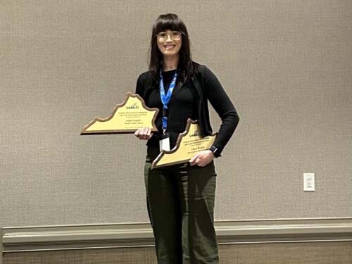
Congratulations to VCU Life Sciences Center for Environmental Studies graduate students, Nina Brundle and Andrew Cameron, for their Map Gallery wins at the VAMLIS GeoCon 2023 Conference! Nina Brundle won the Map Gallery “Best Student Story Map” AND “Viewer’s Choice” for her VCU Rice Rivers Center StoryMaps, “Understanding the Pamunkey River: A Review of Water Science, Management, and Traditional Knowledge”, and, “Assessments of the Upper Tye and Piney Watersheds: Jewels of the Middle James”. Andrew Cameron won “Best Geographic Analysis” for his work, “Using GIS to Model Potential Winter Habitat for an Endangered Migratory Songbird in Southeast VA”. Congratulations! #VAMLIS #GeoCon2023
Andrew’s poster argues that “salt marshes are ecologically and economically important ecosystems that continue to be threatened by sea level rise and coastline modification resulting from human development. The Saltmarsh Sparrow (Ammospiza caudacutus), one of four species of Ammospiza sparrow, is endemic to salt marshes of the eastern United States. A short-distance migrant, Saltmarsh Sparrow lives out its entire life cycle in patches of coastal marsh between Maine and Florida. The species employs a ground-nesting strategy and depends on access to high marsh for nest success. Rising seas and a variety of stressors associated with human-dominated landscapes have led to unsustainable rates of nest failure and contributed to population decline of 9.0% annually between 1998 and 2012. The species faces a high probability of extinction within 50 years if current trends continue.
While much research has examined the breeding ecology of SALS, comparatively little attention has been paid to their nonbreeding ecology and distribution. A large portion of the annual cycle of these marsh birds is spent on their winter grounds. This period represents the most critical time for adult survival . Additionally, occupying inadequate wintering habitat can affect the physical condition of birds during migration, their arrival date on nesting grounds, and their condition at breeding sites. Significant work has been done to identify and prioritize habitat for conservation and restoration throughout the species’ breeding range. However, there has not been a parallel effort to identify and prioritize nonbreeding habitat. This project represents an exploratory analysis intended to identify and prioritize potential SALS habitat in southeast Virginia by developing and applying a habitat suitability index (HSI) model.”
Nina presented two storymaps at the conference. The first was titled “Assessments of The Upper Tye and Piney Watersheds: Jewels of the Middle James – A Virginia Healthy Waters Initiative”. You can link to it here. Nina writes, “This StoryMap provides a visual representation of recent stream assessments conducted in the Upper Tye and Piney watersheds Virginia’s Healthy Waters Program. The Healthy Waters Program is an inter-agency program led by the Virginia Department of Conservation and Recreation’s Natural Heritage Program and Virginia Commonwealth University in partnership with the Virginia Department of Environmental Quality to identify and maintain watersheds with high ecological integrity. From 2020 to 2021 VCU Rice Rivers Center fisheries biologists conducted surveys to identify stream segments supporting populations of Eastern Brook Trout, a biological indicator species indicative of healthy water within the Upper Tye and Piney River basins. These findings highlight the importance of biotic stream assessments in identifying healthy watersheds, enabling conservation efforts to be focused on preserving the biotic integrity of rivers like the Tye and Piney today, so they can be enjoyed for years to come.”
Her second story map was titled “Understanding the Pamunkey River: A Review of Water Science, Management, and Traditional Knowledge”. You can find this one here. Nina writes, “This StoryMap presents the results of a collaborative effort by the United States Geological Survey, Virginia Commonwealth University’s Rice Rivers Center, and the Pamunkey Indian Tribe to document the current state of water resources in the Pamunkey River. This report includes a review of relevant scientific studies combined with documentation of the Traditional Ecological Knowledge possessed by elders of the Pamunkey Indian Tribe through recorded interviews. The riparian habitats, woods, waters, wetlands and biota of the Pamunkey riverscape are critical to tribal health, economics, culture, and identity. The fate of the river and the tribe are inextricably linked, which is why stewardship of the Pamunkey River is crucial. This report identifies gaps in scientific and traditional understanding, and the ongoing and emerging threats are to the Pamunkey River, its resources, and the people that live and depend on it.”